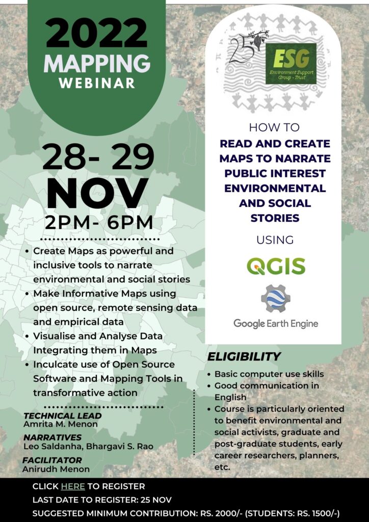
2022 Mapping Webinar
28-29 November 2022, 2 pm to 6 pm
(Download the workshop report here)
This 2-day webinar will focus on generating informative maps using remote sensing and other freely available data to enhance the narratives that would be relevant to your work.
Hands-on training will be provided for using open-source resources such as QGIS mapping software and Google Earth Engine platform to visualize and analyse data. This webinar aims to inculcate a practice of using such open-source software and platforms in your work.
QGIS (Quantum Geographic Information System) is a free, open-source software that allows users to create, edit, visualize, analyse, and publish geospatial information. Google Earth Engine is a cloud-based geospatial analysis platform which helps users visualize and analyse data from satellite imagery. The installation files for the software will be shared prior to the webinar.


