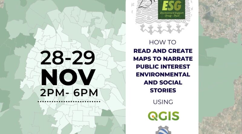
How to read and create maps to narrate public interest environmental and social stories?
This 2-day webinar was conducted by ESG on 28th November and 19th December 2022. The webinar focussed on generating informative maps using remote sensing and other freely available data to enhance the narratives that would be relevant to the participants’ work. Hands-on technical training was provided for using open-source resources such as QGIS mapping software and Google Earth Engine platform, which can be used to visualise and analyse data.
Read More